Savannah River & Marsh Crossings
The river is the coast's working spine — a deepened harbor carrying the container fleet past the historic waterfront to the terminals, with the state line running midstream and South Carolina watching from the far marsh — and its corridor work is the signature coastal assignment: crossings and parallels threading terminal country under the port authority's coordination, federal navigation review on a channel the nation's trade depends on, and facility neighbors at box-empire density. Main-harbor crossings run as the major engineering they are, framed honestly at the desk; the corridor's daily diet is the coordination-dense work along its banks.
The marsh scales the doctrine across the map: Georgia's coastal-marshlands protection machinery — among the nation's strongest tidal-wetland laws — governs the spartina plain with genuine teeth, the causeway corridors to the islands concentrate utilities where land threads water, the Ogeechee's blackwater reaches carry their own prized-river seriousness south, and Ebenezer and the Effingham creeks add buffered crossings north. Our quotes name the actual stack for the actual water, state line included where the river's midstream boundary applies.
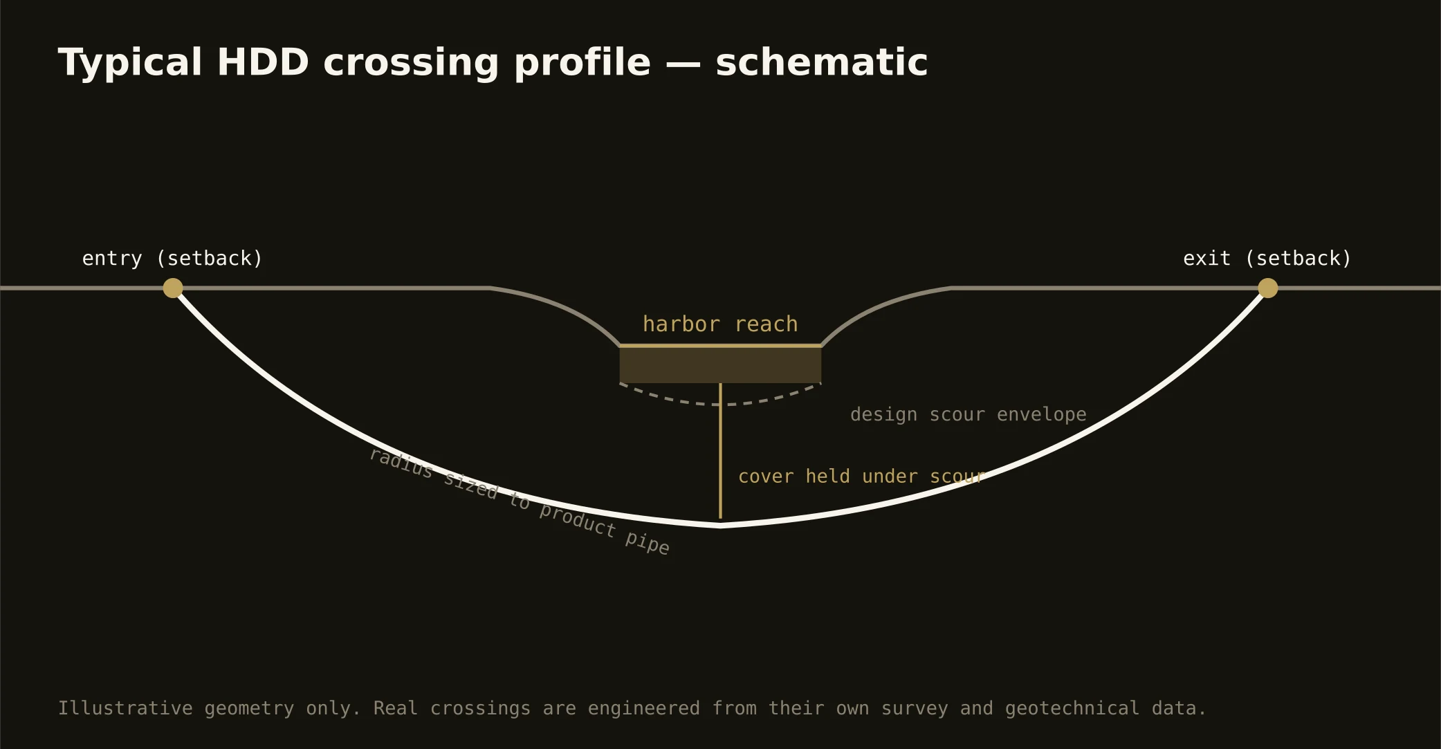
Technically these crossings ride the weave at its softest: ridge-sand approaches trading to pluff mud and organics in the sag, settlement and buoyancy engineered rather than hoped away, dewatered pits at every wet edge, and fluid discipline at estuary grade — containment both banks, conservative pressures, and the response plan written before the pilot turns, in an estuary the coast treats as its living heart.