How Directional Drilling Works in Savannah Ground
The weave: ridge sand and pluff mud
The coast's map is a weave read at a glance from any causeway: sandy ridges — old beach lines and bluff stands carrying every road, town, and pine flat — threaded by the spartina marsh, the tidal plain that gives Georgia the Atlantic's largest share of salt marsh, floored in pluff mud: soft, organic, saturated, and honest about all three. Ridge drilling is agreeable coastal-sand work with the water table as standing company; marsh-thread drilling is soft-ground engineering in full — settlement, buoyancy, organics, engineered pits, estuary containment. The two grounds interleave at every wet edge, and the quote names the thread per reach because the weave forgives no averaging.
Preservation grade: the district and the canopy
The historic city sets a register of care few metros ask for: the nation's largest landmark district runs on review-board standards, brick and cobble streets carry restoration expectations measured in centuries, the squares define a town plan that construction serves rather than interrupts, and the live-oak canopy — protected by ordinance and adored beyond it — makes root-zone planning a design discipline. HDD is the district's natural ally: under the brick, beneath the roots, invisible at the surface. Our preservation-grade manners — arborist-informed pit siting, review-fluent submittals, restoration to the district's bar — are priced as the standing scope they are.
The sequence, coastal edition
The bones are standard — locates plus private designating, potholes on every claimed utility, pilot on profile, ream to about one and a half times the product, pull, restore. Coastal bends: the thread named per reach with the soft program staged for the wet edges, canopy and district manners where the city applies them, hurricane-season staging discipline, port and megasite calendars honored as fixed points, and restoration that treats brick squares, plat lawns, and pine-flat ROW as the different surfaces they are.
Who owns what you're crossing
The cities run their own ROW counters — the historic district adding preservation review inside the landmark bounds; three county departments cover the roads between; GDOT permits I-95, I-16, and the state spines. The port coordinates the harbor corridor with federal navigation review on the channel; Georgia's coastal-marshlands machinery governs the spartina plain with real authority; the Ogeechee's blackwater reaches carry their prized-river care; railroads permit the box empire's corridors; and the metaplant's program runs its own coordination at megasite tempo. The quote names every owner on your alignment — here, the first questions are which thread and whose review.
Straight answers
Will you hit rock on my bore?
No — this coast is sand and mud to depths no utility visits, with the limestone far below the working section. The honest cautions are the weave's: a steady water table in the ridges, genuinely soft ground in the marsh threads, and a canopy whose roots deserve the planning the ordinances require. The quote prices the real conditions.
How deep do bores run under Savannah streets?
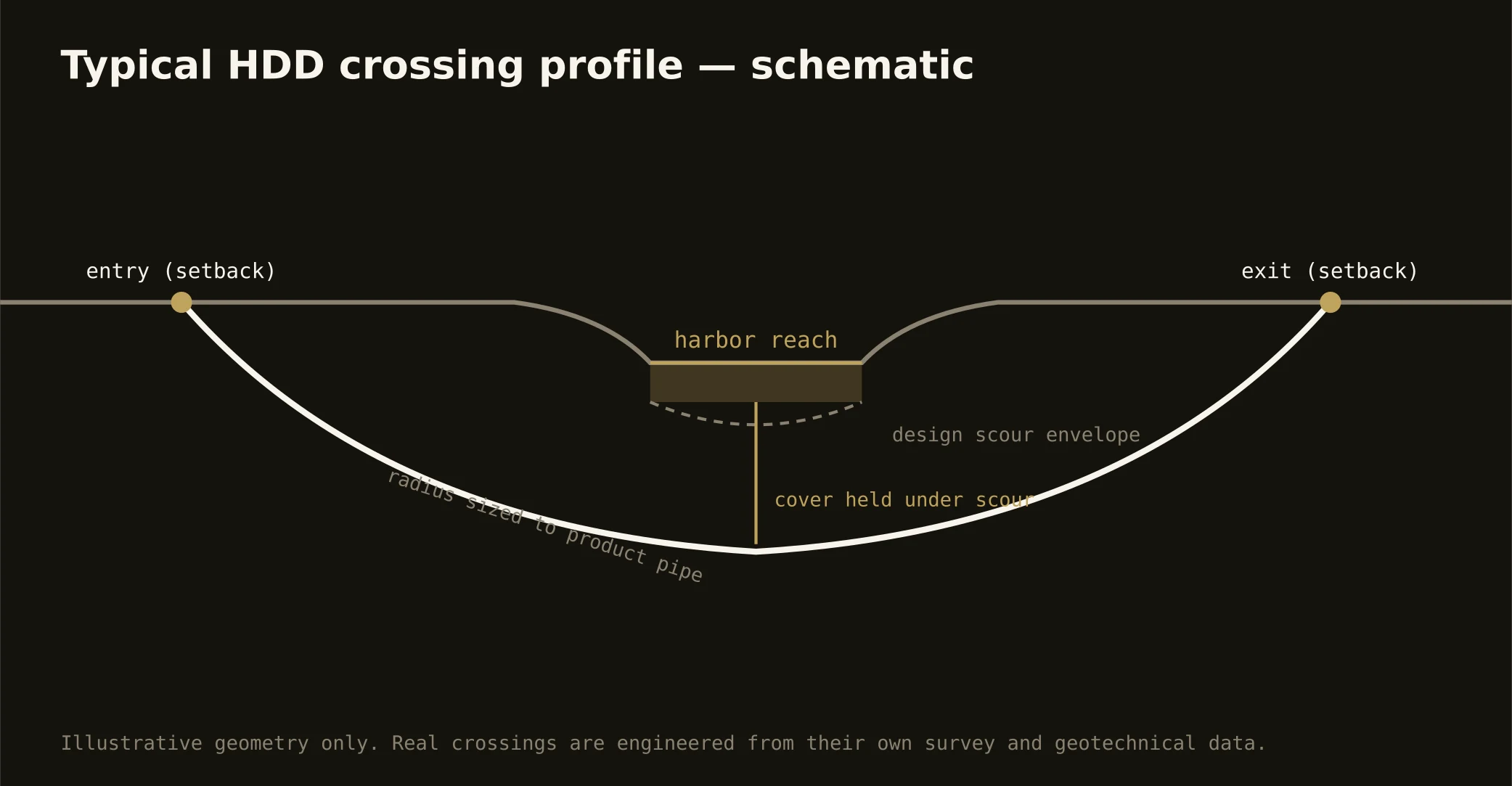
Cover follows the owning authority's standard and sits below everything potholed on the alignment — with harbor and marsh crossings running to navigation and coastal-marshland criteria, and district blocks adding preservation review to the plan. In soft threads, depth is settlement engineering as much as cover; the plan states your number and its reasoning.
Does hurricane season change the schedule?
It disciplines it: this coast plans for water from sky and sea both, so staging stays storm-aware through the season, marsh-edge work watches the forecasts, and the hardening surge after any hit runs at a tempo the network's scale is built to meet. The Lowcountry has always planned around its weather; the trade that serves it does the same.
Ready to put a number on a real crossing? Send the scope — a person prices it.